Power BI (Bug): Power BI Desktop auto-hides visible tables with all columns hidden
I have a client who’s publishing their tabular data models to Azure Analysis Services (AAS). They want to publish a table that’s visible, but only has a single column that’s hidden.
You might wonder why he wanted to do that.
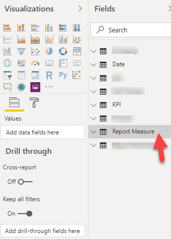
He’s trying to have a table with no existing columns that’s an anchor point for report designers to attach their report-specific measures. There are measures and computed columns in the tabular data model in AAS. But he wants to have a known location for measures that are only related to the specific report.
2020-01-24