Fabric RTI 101: Digital Twins
A digital twin is a virtual representation of a physical system or asset - such as an engine, a building, a production line, or a logistics network.
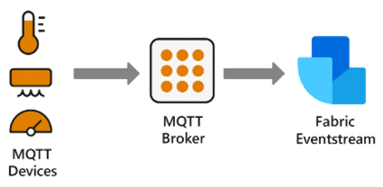
Unlike a static model, a digital twin is continuously synchronized with its real-world counterpart through real-time telemetry and sensor data. This constant data flow ensures that the virtual model reflects the current operating state of the physical system.
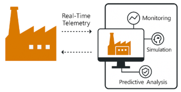
The purpose of a digital twin extends beyond visualization. It enables simulation, monitoring, and predictive analysis. For example, engineers can test what-if scenarios - such as how a machine might behave under higher load or different environmental conditions - without interrupting operations. It also supports predictive maintenance, by identifying early indicators of wear or failure before they result in downtime.
2026-10-26