Spatial Data: If you are working with Australian mapping data, Mappify.io is worth knowing about
I spend quite a bit of each year working with spatial data (i.e. mostly mapping data but sometimes other data). One of the constant challenges is where to find the spatial data. Another challenge is where to find services that can help you to work with the data.
For Australian data, if you haven’t considered Mappify.io, I think you should take a look.
You need to create an account before you start but it’s free to create an account to try it out. Then there are a number of services.
Geocode
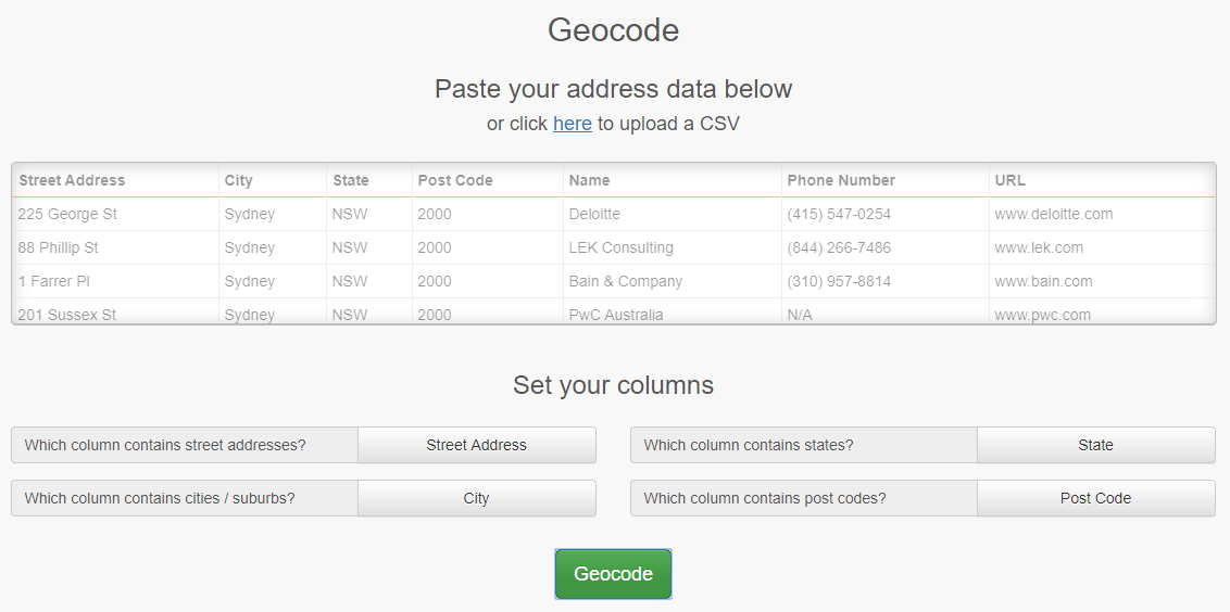
You can do simple web-based geocoding if you want. Enter values or upload a CSV and click Geocode.
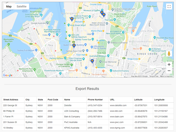
You get back a map and results that you can export:
And of course there’s an API that allows you to do this programatically.
Reverse Geocoding
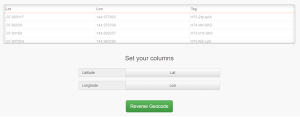
This takes a list of latitudes and longitudes and reverse geocodes them.
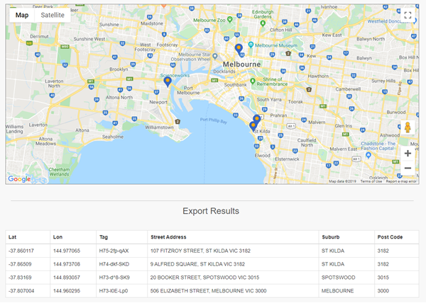
And again, a map and an exportable set of results:
Area Code
The Area Code option determines the area that a location is in. You can choose how the area is categorized:
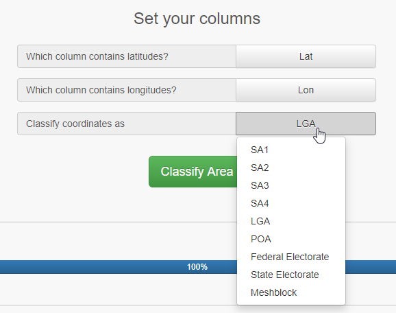
For example, POA returns the postcodes.
Address Cleansing
I particularly love the option for cleaning addresses. Pass in a full address and have the system break the data into standard columns:

Others
There are many other options as well, like routing and driving directions and distances, spatial analytics, etc. This is a great tool and a great service.
Mappify.io currently say that if you create an account, the first 2,500 requests every day are free. After that they’re 0.1¢ each. That seems a bargain.
Learning about Spatial Data
If you’re not using spatial data in SQL Server, you should be. And if you need to learn about spatial data in SQL Server, check out our popular on-demand online course:
https://sqldownunder.com/courses/spa
2019-11-12
